South Coast
The rugged coast of Maine is too extensive to cover in a single page, so we have broken it into three parts. This page covers the coast from the New Hampshire border to the town of Brunswick. The Mid Coast page goes from Brunswick to Acadia National Park while the North Coast page covers the stretch from Bar Harbor to the Canadian border. South of Portland this section of coast is not fragmented, but north of Portland there are fiords with by many small fishing villages.
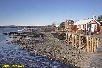
South Harpswell
North of Portland, the coast begins to become more fragmented. Casco Bay is filled with peninsulas and islands, and Harpswell is spread across a peninsula and 47 islands. To the west there is a long, thin peninsula called Harpswell Neck while to the east the three largest islands, Great Island, Orr's Island, and Bailey Island are connected by bridges. The coast of Harpswell is 349 kilometres (217 miles) long. South Harpswell is at the very tip of Harpswell Neck a good 17 kilometres (10.5 miles) down the peninsula. As the crow (or seagull) flies South Harpswell is less than 20 kilometres (12 miles) from the city of Portland, but this peaceful fishing village feels like a different planet.
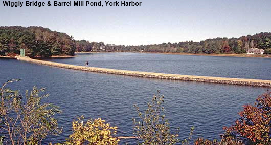
Wiggly Bridge & Barrel Mill Pond, York Harbor
A dam built in 1726 turned an inlet off York Harbor into the tidal Barrel Mill Pond. At the left hand end of the dam a tiny green suspension bridge is just visible in the picture. This is the Wiggly Bridge which dates from the 1930s. It is thought hat the bridge was given its name name in the 1940s by a troupe of Girl Scouts who noted that the bridge wiggled when they walked across it.
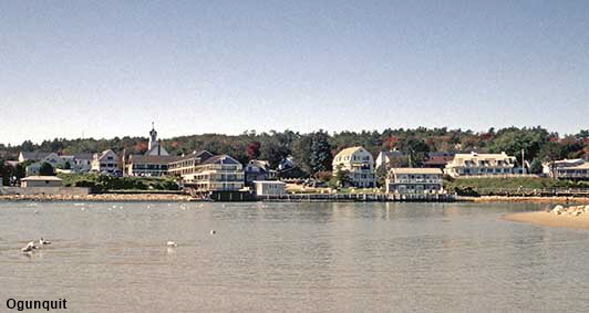
Ogunquit
From a place with an English name we move on to a place with an Abenaki Indian name meaning ‘beautiful place by the sea’. English settlers arrived here in the late 1620’s. The settlers initially lived in harmony with the Indians, but later on relations broke down leading to fighting and massacres. Nowadays Ogunquit remains a small coastal resort town with a population of little over 1,000.
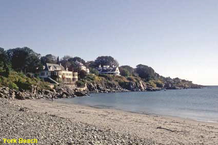
York Beach
York is a very old village by American standards. It was named Bristol by settlers in 1638 after their home town back in England, a few years later it was called Gorgeana then in 1652 it became York, after the English city. York is one of those places that comes in many parts. Apart from York Village, there is York Corner, York Heights, York Harbor, York Cliffs and York Beach. The resort of York Beach occupies a small peninsula jutting out into the Atlantic Ocean to the north of York.
DLU080902
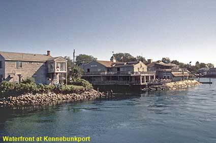
Waterfront at Kennebunkport
We included a picture of Kennebunkport on the Maine page, and make no apology for including another one here. Nowadays Kennebunkport is best known as a tourist destination and as the location of the summer retreat of 41st U.S. President George H. W. Bush. It is also the place where we found some excellent fish & chips, served from a kiosk near the bridge.
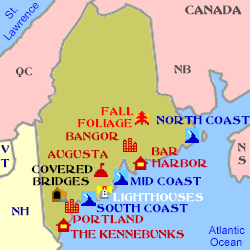
Click on Minimap to navigate
Home > US States > New England > Maine >


To move forwards or backwards through the Maine trail click the arrows above, or select your next destination on the Minimap.

© Mike Elsden 1981 - 2025
The contents of this page may not be reproduced in full or in part without permission