Kootenay National Park
Kootenay Rockies is the name given to the area in the south east of British Columbia and in 1920 some land adjoining Alberta’s Banff National Park was set aside to form Kootenay National Park. The park was set up as a result of the construction of the road between Banff (Alberta) and Windermere with an 8 kilometre (5 mile) strip each side of the new road used to create the National Park of 1406 square kilometres (543 square miles) in area. Here mountains, minerals, forests, springs (both hot and cold) and waterfalls abound.
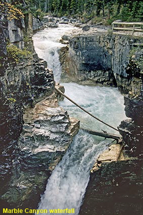
Marble Canyon Waterfall
The blue glacial meltwater of Tokumm Creek plummets into Marble Canyon with its blue-grey limestone walls. The canyon is is very narrow but up to 37 metres (130 feet) deep.
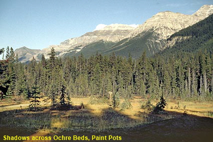
Shadows across Ochre Beds, Paint Pots
The shadows of the trees from the late sun mimic the saw toothed shape of the Rockies in this area. Here at the Ochre Beds cold mineral springs rich in iron bubble up through small pools and have stained the earth in the foreground a deep ochre colour.
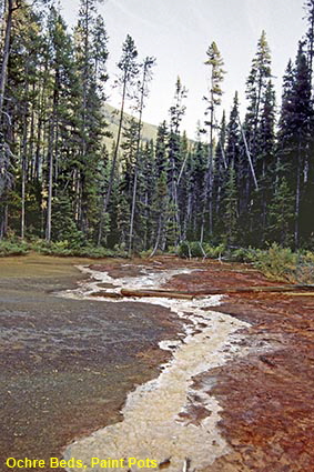
Ochre Beds, Paint Pots
The reds and yellows of the Ochre Beds are more visible in this picture, even though the evening shade has to some extent masked the full brilliance of the colours. The Ktunaxa (or Kootenay) Indians collected ochre here which they used as body paint for important ceremonies and for trade. They regarded this place as one of “great medicine” where animal spirits lived.
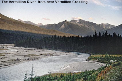
The Vermillion River near Vermilion Crossing
The Vermillion River runs through the northern part of the park. Here high and jagged mountains such as Mount Selkirk (2398 metres, 9640 feet) tower over the valley.
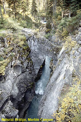
Natural Bridge, Marble Canyon
A 1 kilometre (0.6 mile) trail takes you along the canyon to a viewpoint where a natural rock bridge spans a gorge. This is not the best rock bridge that we have seen, but from here you get a very good feel for the depth and narrowness of the canyon.
Click on Minimap to navigate


To move forwards or backwards through the British Columbia trail click the arrows above, or select your next destination on the Minimap.
DLU060330

© Mike Elsden 1981 - 2023
The contents of this page may not be reproduced in full or in part without permission
