Grand Tetons National Park
While Yellowstone National Park has the best geothermal features in the USA it does lack one thing - high and jagged mountains. If you head south from Yellowstone along the Rockefeller Parkway this omission is addressed by the Grand Tetons that rise majestically as a backdrop to a series of lakes. The centrepiece of this range is Grand Teton itself, rising to a height of 4,197 metres (13,770 feet), the second highest mountain in Wyoming. This rugged area has a harsh climate that initially deterred settlement, so it was not until the late 19th century that the first settlers arrived in the valley called Jackson Hole. The mountains became a National Park in 1929 but it was not until 1950 that the current National Park was formed by extending it to include parts of Jackson Hole, including land donated by John D. Rockefeller, Junior.
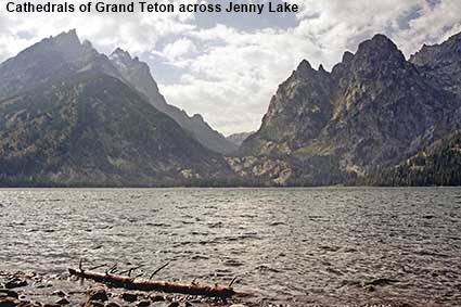
Cathedrals of Grand Teton across Jenny Lake
The second small lake by Teton Park Road is Jenny Lake. Rather larger than String Lake, it has a viewpoint that provides is one of the best views in the National Park looking across the lake to Cascade Canyon with Teewinot Mountain and Grand Teton on the left.
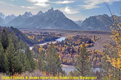
Grand Tetons & Snake River from Snake River Viewpoint
The main road through the park runs close to the northern end of Jackson Lake but as it heads south it turns away from the lakes to follow the Snake River. Our first visit to the National Park took us along the road that runs past the lakes, but on our second visit we stuck to the main road and were rewarded with this view of the Snake River winding its way through the scenery.
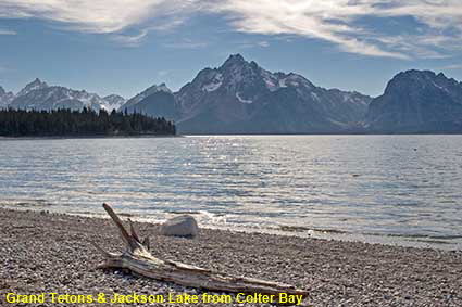
Grand Tetons & Jackson Lake from Colter Bay
Continuing further south, the magnificence of the Grand Tetons becomes clear. The range runs from north-south which makes them difficult to photograph in the afternoon as the sun is behind them. This afternoon picture taken from the shore of Jackson Lake at Colter Bay shows that good results can be obtained even in contra jour conditions. Here the clouds seem to mimic the shape of 3,461 metre (11,355 foot) high Ranger Peak.
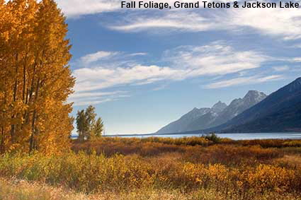
Fall Foliage, Grand Tetons & Jackson Lake
Heading south from Yellowstone, this is your first view of the Grand Tetons. It gives only a hint of what is to come as you continue south, indeed but for the extensive fall foliage this picture would not have made it on to the web site.
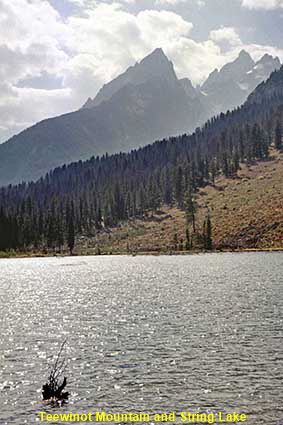
Teewinot Mountain and String Lake
Turning off the main road, the Teton Park Road (otherwise known as the Jenny Lake Loop) takes you past the southern end of Jackson Lake and also past a couple of small lakes. String Lake is the smaller of the two, little more than a widened section of river. In this view the 3,756 metre (12,325 foot) high Teewinot Mountain looms over the String Lake.
Click on Minimap to navigate
DLU061130


To move forwards or backwards through the Wyoming trail click the arrows above, or select your next destination on the Minimap.


© Mike Elsden 1981 - 2025
The contents of this page may not be reproduced in full or in part without permission